
Terroirs
The Opportunity
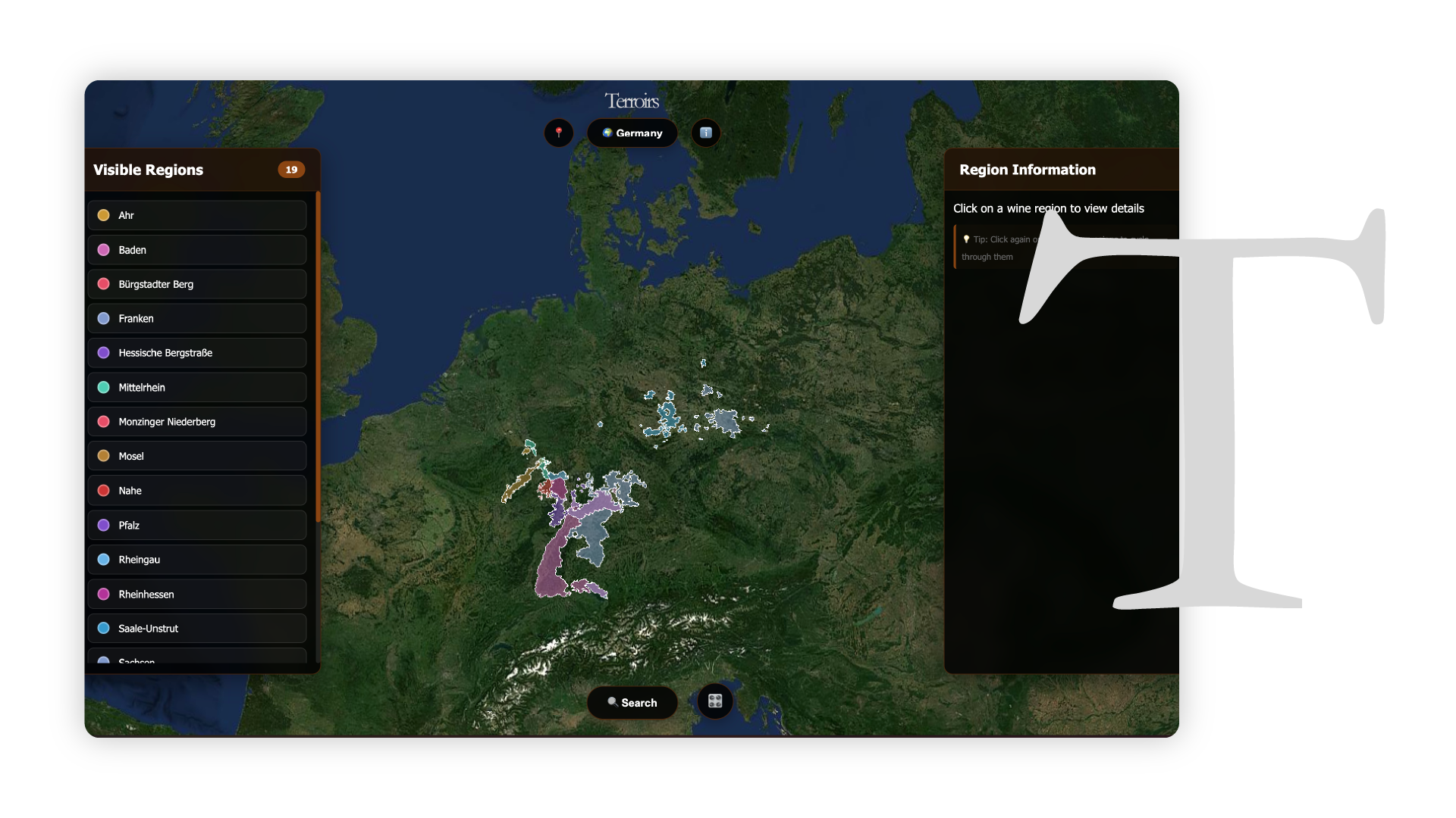
Traditional 2D maps failed to convey how elevation and slope shape flavor. You can't understand a vineyard if you can't see the mountain it sits on.
The Solution
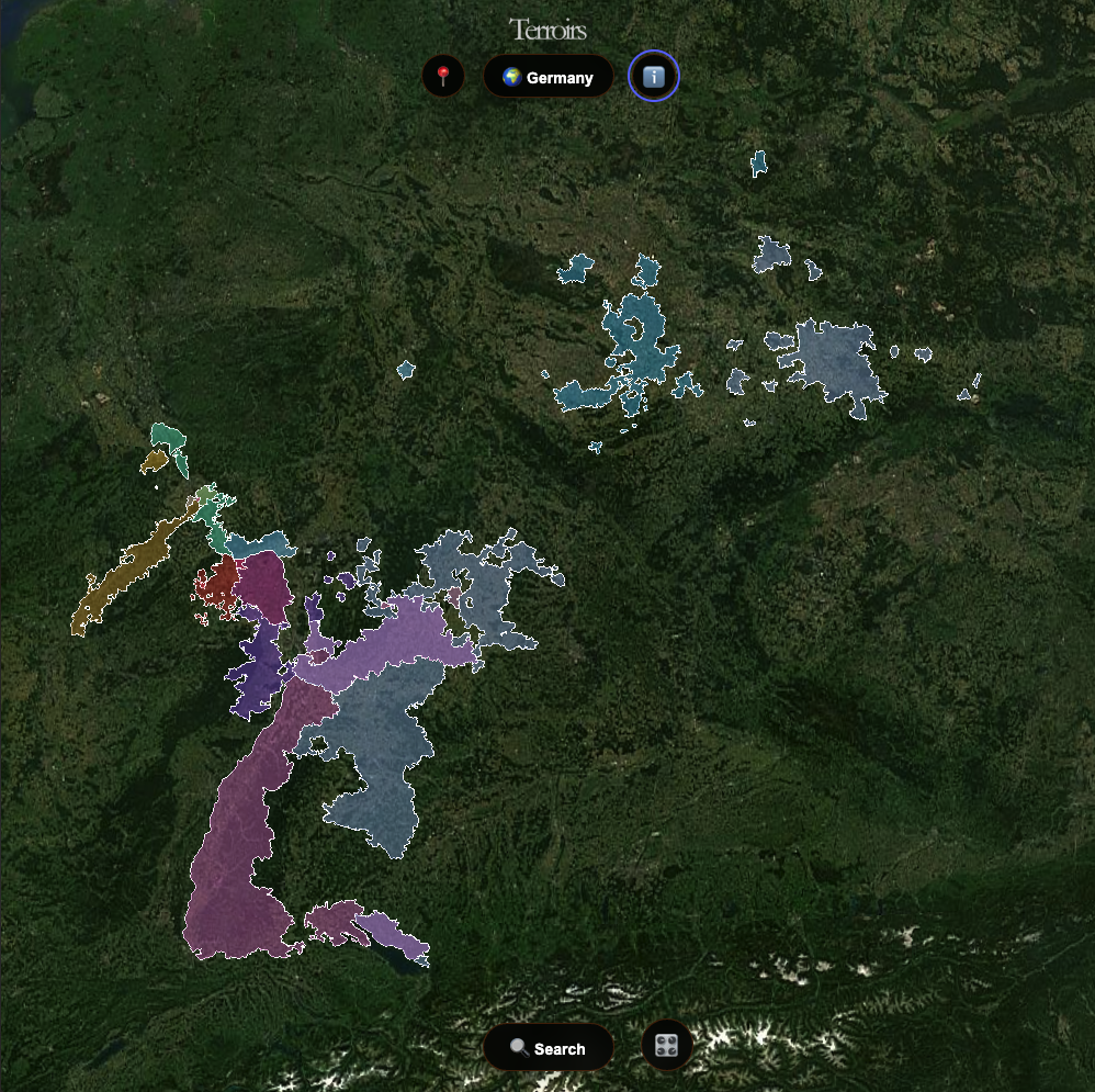
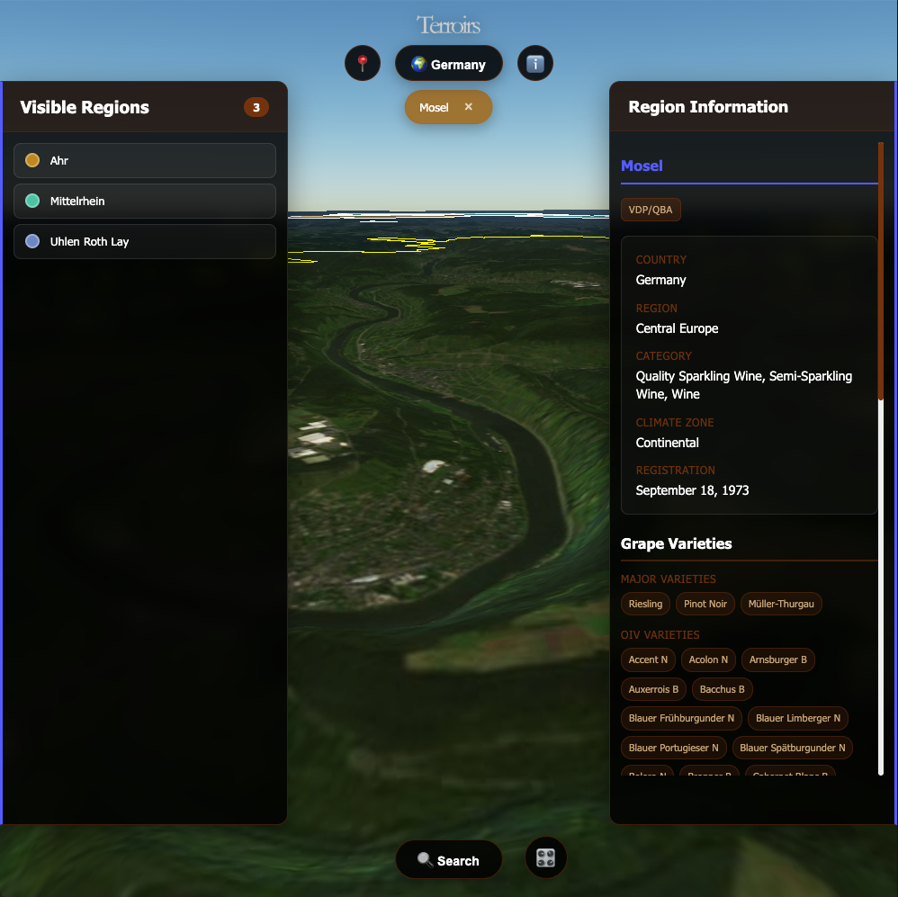
I built an interactive 3D atlas that lets users explore famous wine regions in 2D and 3D allowing them to view the map, the terrain and the area around it.

The Learning
By adding the third dimension, data became intuitive. It showed me that the right visualization can turn complex geography into discovery allowing for exploration.
Discover the Atlas
Explore wine regions in 3D for spatial context.